About the map
I was fortunate this year to have visited the Antarctic Peninsula and South Shetland Islands. It was an amazing trip. But the electronic maps provided by the ship that I was on were inadequate, lacking coast detail and important place names.
As a retired US National Park Service cartographer, I decided to improve matters by making a map similar to those that visitors get when entering a national park. Designing an accurate, informative, and easy-on-the-eyes map for ship passengers was my goal. I also wanted the map colors to reflect the Antarctic environment—icy waters brimming with life, glaciers everywhere, and rocky shores where penguins gather.
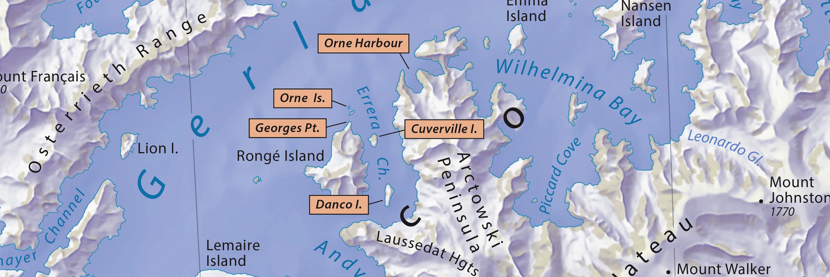
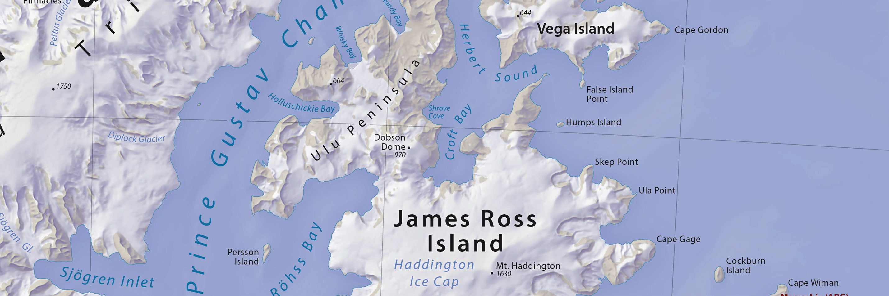
The reference map that I made focuses on the frequently visited part of the Antarctic Peninsula north of the Antarctic Circle. It is available for free. You may use it for online viewing, as wall art, or to track your location on a mobile device while cruising the Antarctic coast. Enjoy!
January 13, 2024
Get the map: Pick the version best for you
Last update: Version 1.01, January 13, 2024 Change log
Screen viewing and high-quality printing:
RGB JPEG image, 39 x 36 inches, 350 DPI, 20 MB
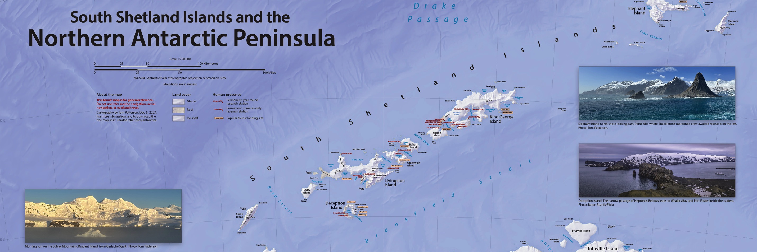
South Shetland Islands & Northern Antarctic Peninsula
Visitor Map
Modifying the map:
Layered Adobe Illustrator CC file with MAPublisher georeferencing, includes terrain art, 264 MB
Additional files for GIS and mapmaking
Georeferenced raster map GeoTIF, 79 MB
Terrain art without type GeoTIF, 51 MB
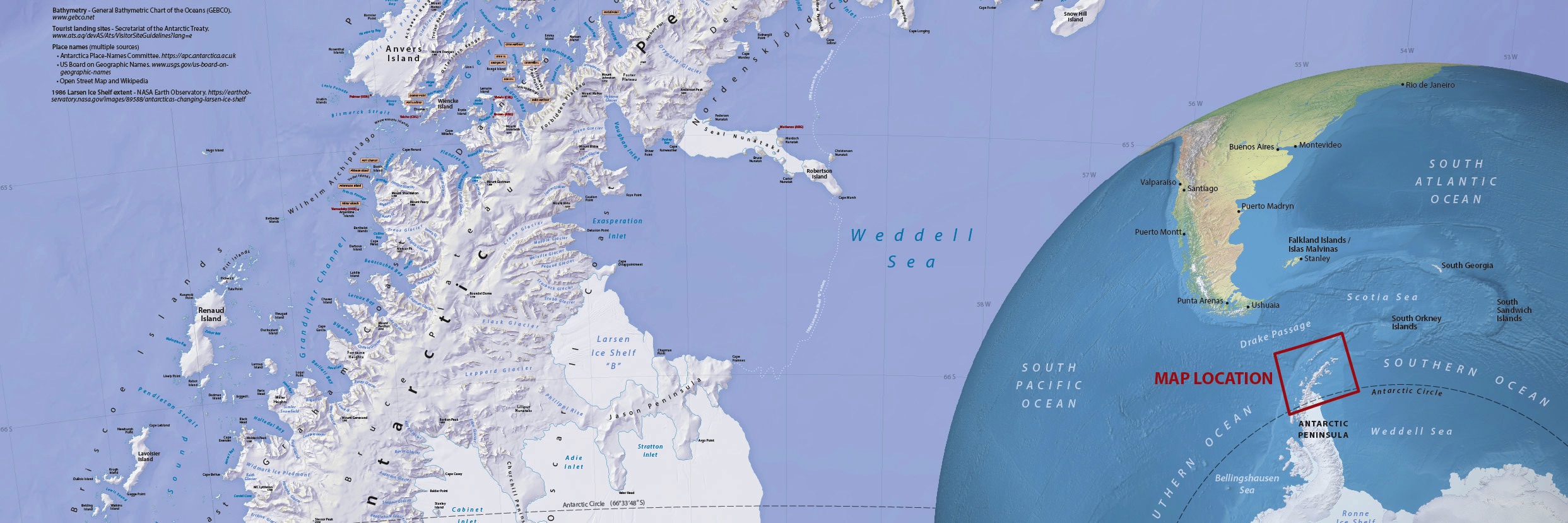
Data sources
Coastline, rock outcrop, and ice shelf - Antarctic Digital Database, British Antarctic Survey. www.bas.ac.uk/project/add/
Terrestrial relief - Gapless-REMA100: A gapless 100-m Reference Elevation Model of Antarctica with voids filled by multi-source DEMs. figshare.com/articles/dataset/Gapless-REMA100/19122212
Bathymetry - General Bathymetric Chart of the Oceans (GEBCO). www.gebco.net
Tourist landing sites - Secretariat of the Antarctic Treaty. www.ats.aq/devAS/Ats/VisitorSiteGuidelines?lang=e
Place names - multiple sources
• Antarctica Place-Names Committee. https://apc.antarctica.ac.uk
• US Board on Geographic Names. www.usgs.gov/us-board-on-geographic-names
• Open Street Map and Wikipedia
1986 Larsen Ice Shelf extent - NASA Earth Observatory. https://earthobservatory.nasa.gov/images/89588/antarcticas-changing-larsen-ice-shelf
Deception Island photograph - Baron Reznik, Flickr. https://www.flickr.com/photos/baronreznik/25205493679
Terms of use
This map was made with geospatial data generously provided by others that require attribution. You are welcome to reproduce, distribute, or modify the map provided that the sources are cited.
By downloading and using this map you agree that the map author (Tom Patterson) is not legally responsible for any errors that the map may contain. You are solely responsible for all problems that may arise from reuse of the map and distribution to third parties. Tom Patterson does not necessarily endorse the individuals or organizations that may use the map, nor does he endorse their positions on issues.
This tourist map is for general reference only. Do not use it for marine navigation, aerial navigation, or overland travel.
The map measures 39 x 36-inches at 1:750,000-scale. It uses the Antarctic Polar Stereographic projection centered on 60W.
Going mobile
Point your phone's camera here to get the map.

Locate yourself while on a cruise with the free Avenza Maps app for iOS and Android. It works when you are off the grid using the built-in GPS 0n your phone or tablet.