 |
|||
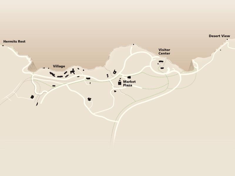
Inspired by the New York Subway map, in which Manhattan Island appears much wider than it is, I drafted a variable-scale base map of the South Rim. It is similar to what you might draw on a napkin to show driving directions to a friend. It is a cartographic caricature of the South Rim. When drawing the base, I tried to preserve familiar geographic shapes and relative spatial relationships. Side note: Massimo Vignelli who designed the 1972 New York Subway map also designed the "Unigrid System" of brochures used by the National Park Service today. |
||