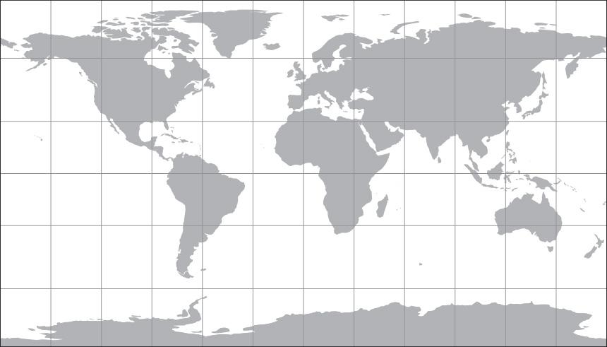
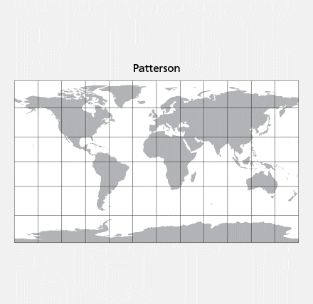
Patterson Cylindrical Projection |
|||||||||||
 |
|||||||||||
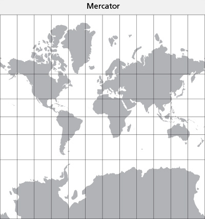
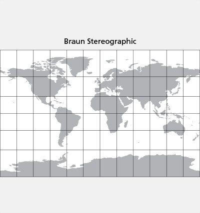
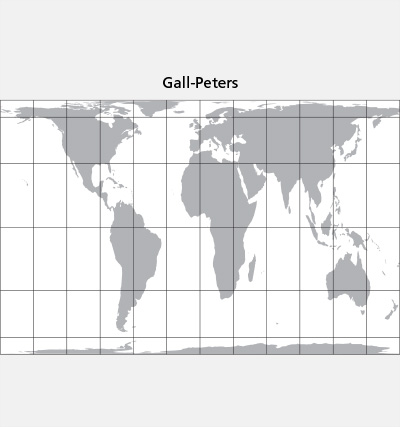
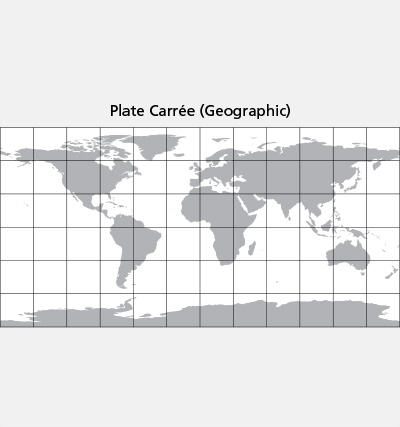
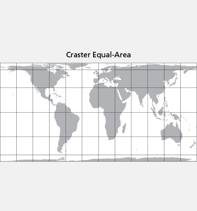
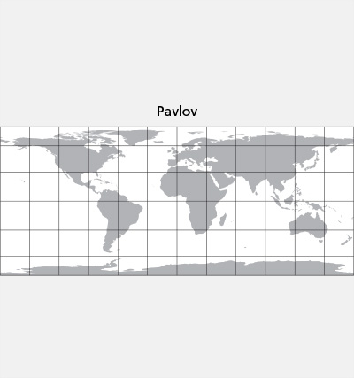
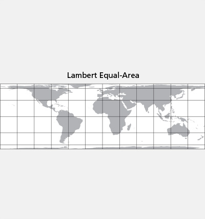
The Patterson, a new projection designed for general-purpose mapmaking, is an alternative to other cylindrical projections (see comparisons below). It falls between the popular Miller 1, which exaggerates the size of polar areas, and the Plate Carrée, which compresses the mid latitudes. With its relatively compact 0.57 height-to-width aspect ratio, the Patterson fits nicely in printed reports, web pages, or any project needing a world map with a rectangular format. |
|||||||||||
 |
 |
||||||||||
For more information, please refer to this article published in Cartographic Perspectives (no. 78) : Introducing the Patterson Cylindrical Projection Developers: You can implement the Patterson projection in your software by downloading the source code at: Cartographers: The Patterson projection is now offered in these applications: ArcGIS, Flex Projector, Natural Scene Designer, and QGIS We hope that you find our new projection useful. Tom Patterson, US National Park Service Bojan Šavrič, Cartography and Geovisualization Group, Oregon State University Bernhard Jenny, Cartography and Geovisualization Group, Oregon State University |
|||||||||||