About the map
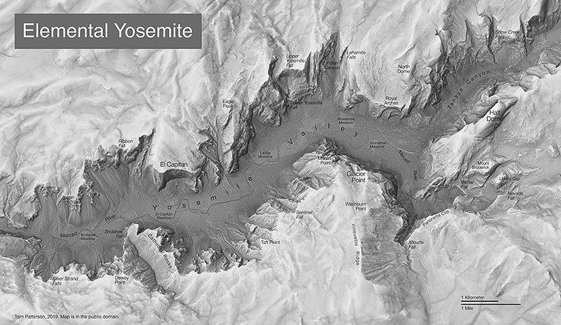
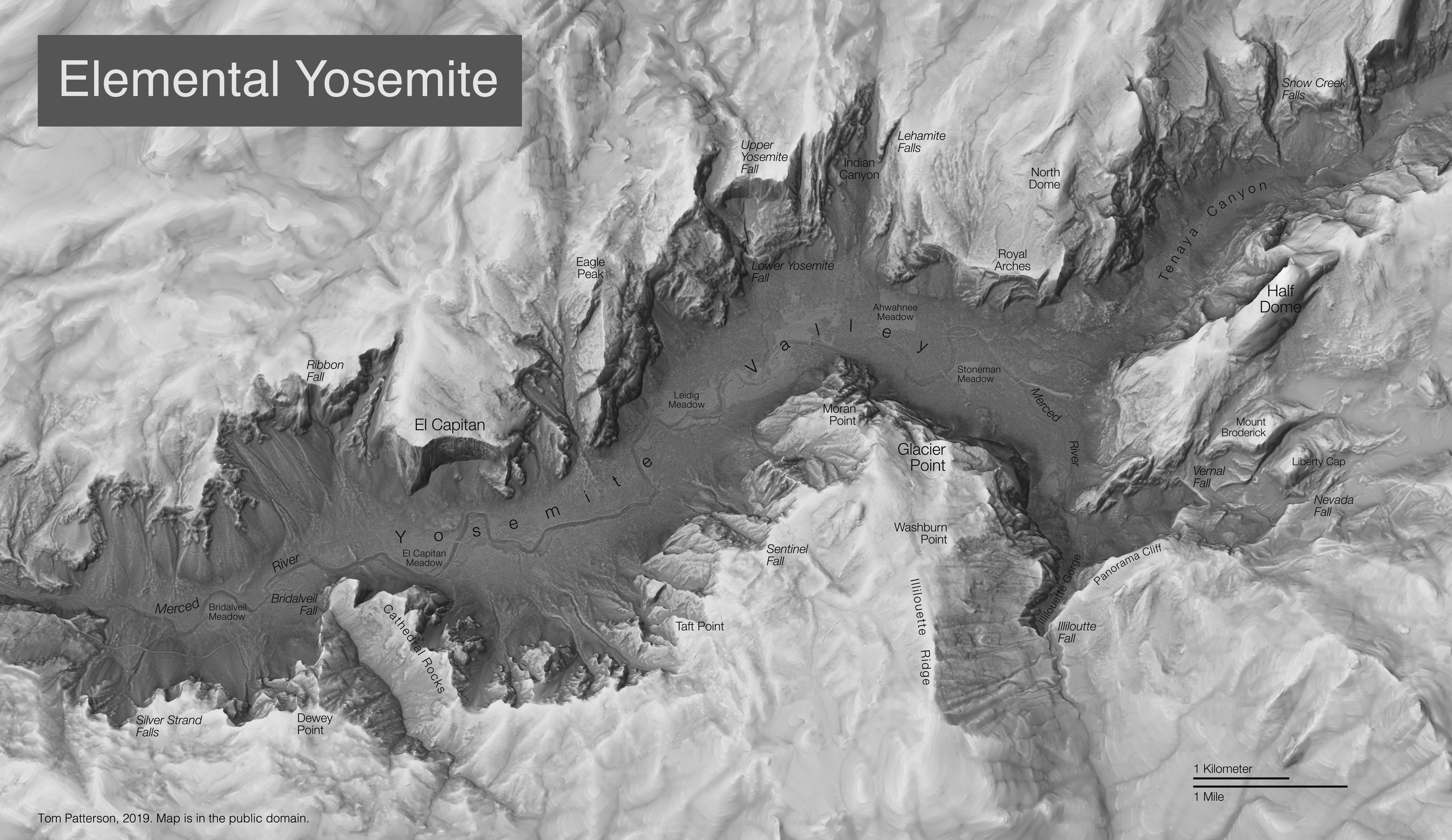
Sometimes initial design ideas metamorphose into something else. The terrain on this map started out in full-color to be used as the background for a tourist map. But the colors were not quite right, and the extremely detailed terrain competed visually with visitor facilities on the valley floor. So, I abandoned the tourist map idea and created a “carte noir” statement instead. The map attempts to evoke the elemental forces that define the Sierra Nevada—granite bedrock, glacier-carved cliffs, and cascading water—that Ansel Adams captured so superbly in his photographs.
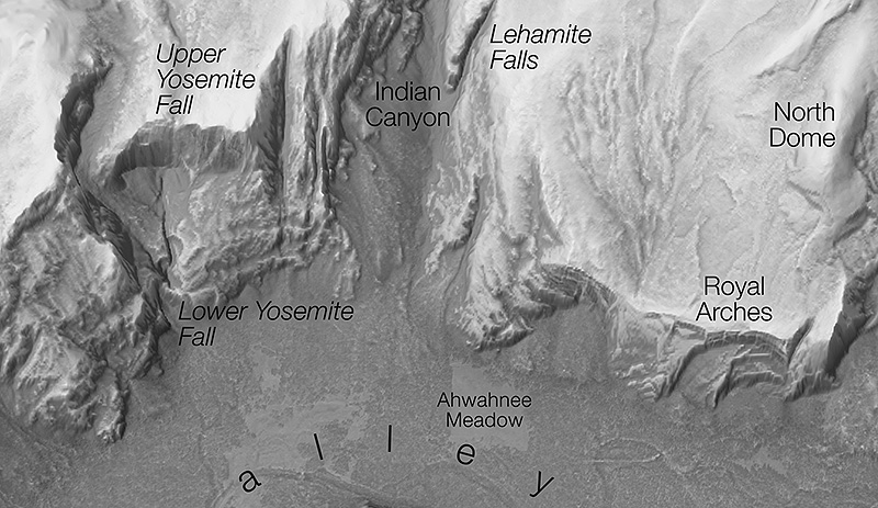
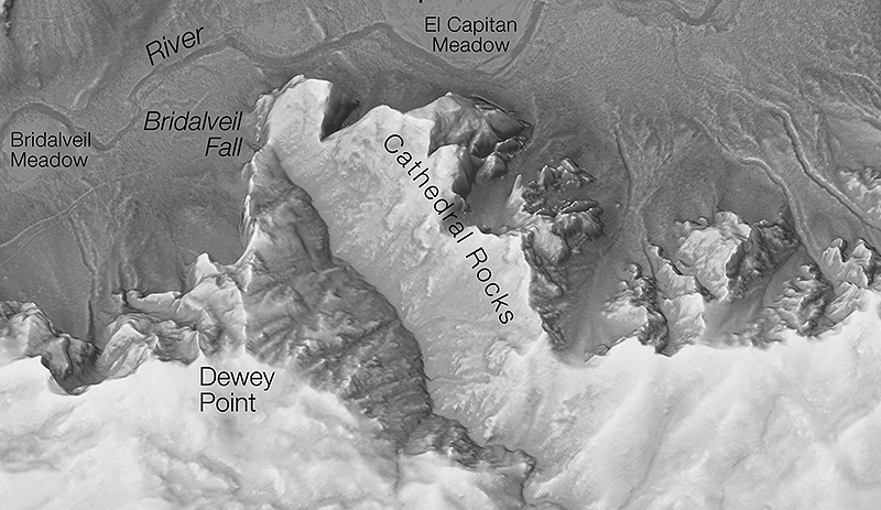
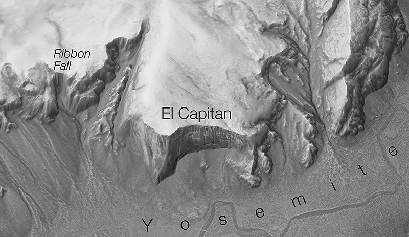
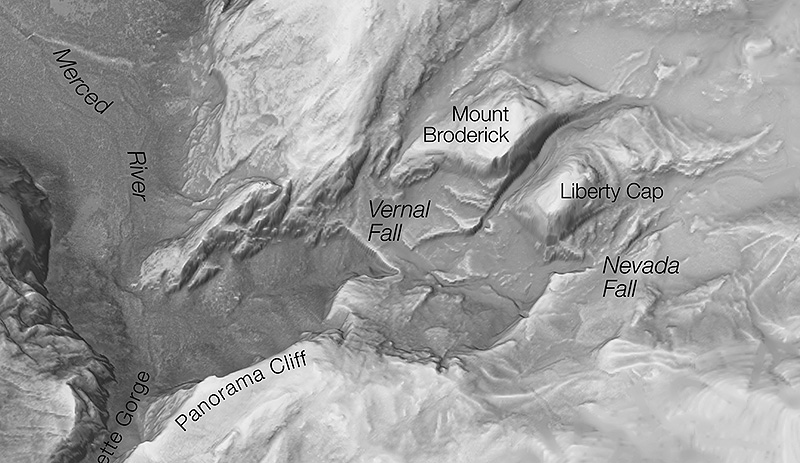
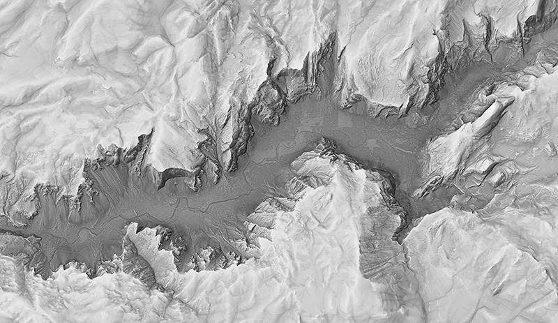
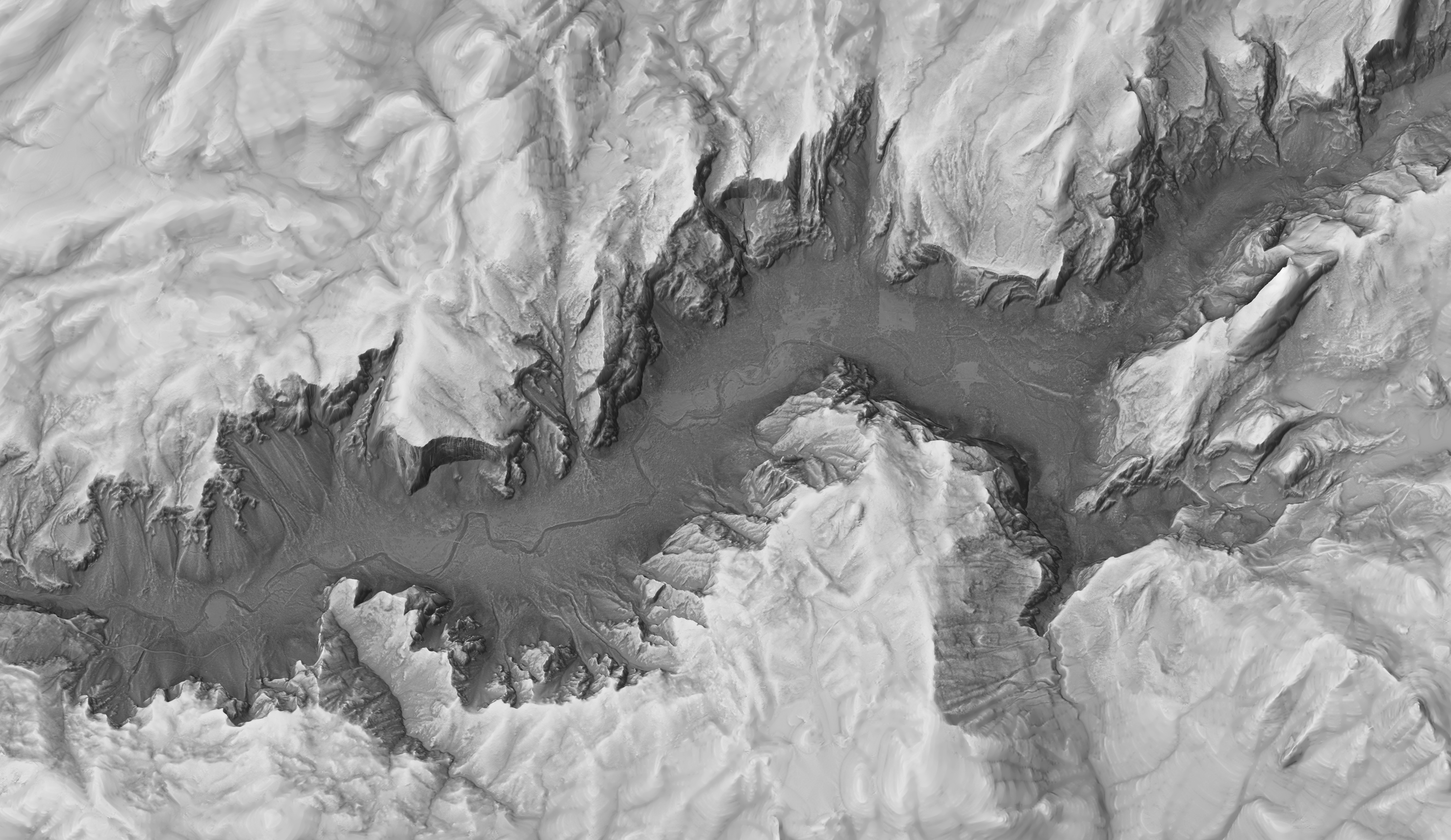
Like the place it represents, the map was also formed from interacting elements, which in this case, are geospatial data. The terrain is depicted from a LiDAR digital elevation model at 1-meter resolution. The texture shading technique further enhances rock detail by revealing the cracks, flakes, and domes that characterize Yosemite. Rendering the terrain as plan oblique relief brings drama to the map—but at a cost. North-facing cliffs on the south side of the valley, such as Half Dome, are less visible than the south-facing cliffs on the opposite side of the valley. The face of El Capitan appears in all of its full glory. A hint of NAIP aerial photography shows forests and meadows on valley floor.
Downloads
Elemental Yosemite
An Ansel Adams-inspired map of Yosemite Valley
Tom Patterson


Terms of use
The maps on this page are in the public domain. You may use them any way you like, including modifying the content, digital and print reproduction, and selling them for profit. Consider the maps as yours.