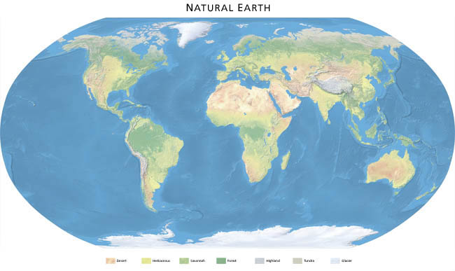


Download Natural Earth
Data hosted by: Florida State University, FREAC
Full-resolution (1.24 km) data: RGB TIF image and World File, plate carrée projection, WGS84 datum, 16,200 x 16,200 pixels (per hemisphere)
Print the world 5.5 meters- (18 feet-) wide at 150 DPI
Extras: Grayscale TIF images, 16,200 x 16,200 pixels
Western hemisphere (40.2MB)
Eastern hemisphere (64.5MB)
Antarctic ice shelves and arctic multi-year pack ice:
Western hemisphere (540K)
Eastern hemisphere (436K)
Downsampled (5 km) data: RGB TIF image and World File, plate carrée projection, WGS84 datum, 10,800 x 5,400 pixels (water version contains ETOPO2 bathymetry)
Print the world 1.8 meters- (6 feet-) wide at 150 DPI

Extras: Grayscale TIF images, 10,800 x 5400 pixels
500-meter data of coterminous US: RGB TIF image and World File, plate carrée projection, WGS84 datum, 18,458 x 9,341 pixels (coverage: 15N to 57N, 52W to 135W)
Print the coterminous US 3.1 meters- (10.3 feet-) wide at 150 DPI
Landcover only (143MB)
Landcover, shaded relief (211MB)
Natural Earth Poster: RGB TIF image, Robinson projection, generalized ETOPO2 bathymetric tints and relief shading, title and legend, 10,800 x 5,400 pixels
Print the poster 1.8 meters- (6 feet-) wide at 150 DPI
See poster detail
Download poster (79MB)
