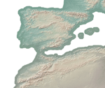
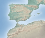
World Relief Map
Download Free Data
Download Free Data
21,600 x 10,800 TIF with World (.tfw) file, Geographic projection, WGS84 datum.
For matching 1:10 million-scale vector data (countries, coasts, rivers, etc.) go here.


16,200 x 8,100 TIF with World (.tfw) file, Geographic projection, WGS84 datum.
For matching 1:10 million-scale vector data (countries, coasts, rivers, etc.) go here.


10,800 x 5,400 TIF with World (.tfw) file, Geographic projection, WGS84 datum.
For matching 1:50 million-scale vector data (countries, coasts, rivers, etc.) go here.

