


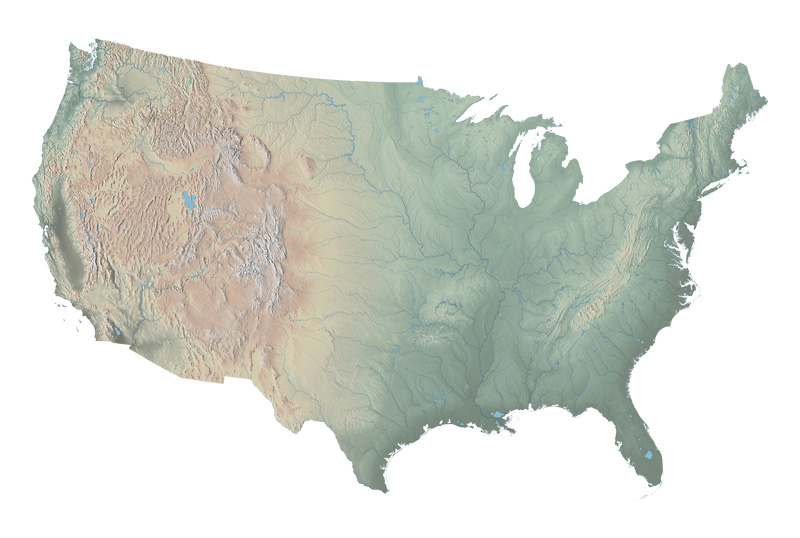
US Physical Map - Download
Data hosted by NACIS
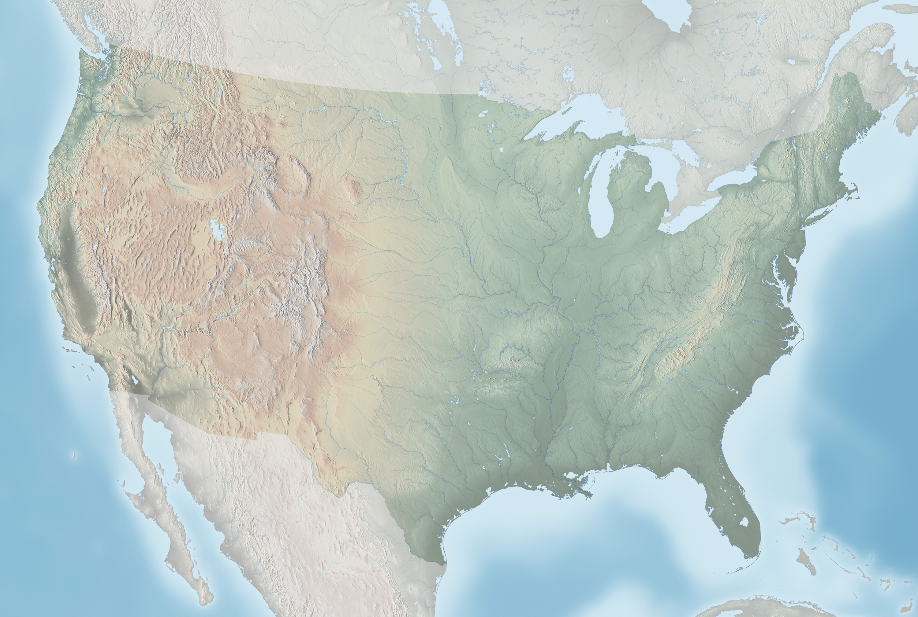
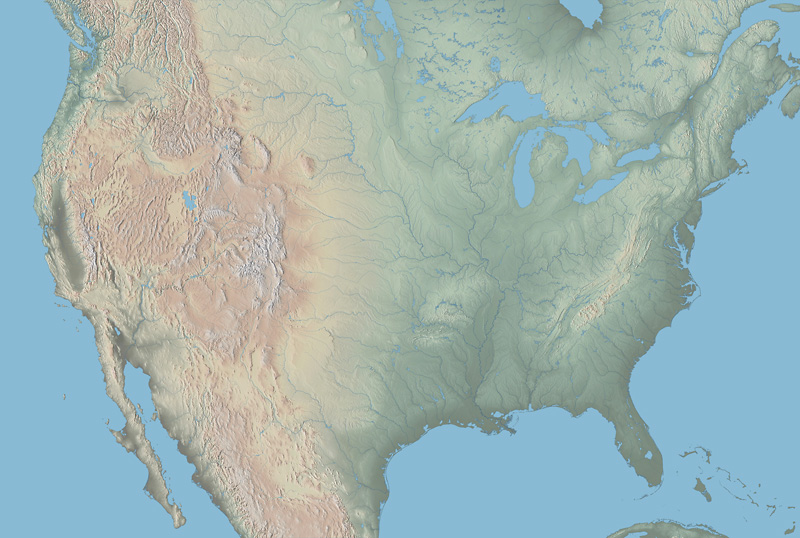
Wall maps
RGB JPEG images (quality level 10), Albers Equal-Area Conic Projection, 12,500 x 8,750-pixels
Prints 50 inches wide x 35 inches high at 250 DPI

Wall map extras:
Editable labels – Layered Adobe Illustrator CS file with the labels displayed on wall map 1 above. Adobe Frutiger Light Italic (46) and Roman (55) fonts are used. The bottom layer contains a box for visually registering the relief. Download (4.5MB)
Non-editable outline labels – Layered Adobe Illustrator CS file with the labels displayed on wall map 1 above. The bottom layer contains a box for visually registering the relief. Download (7.9MB)
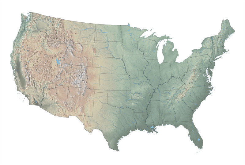
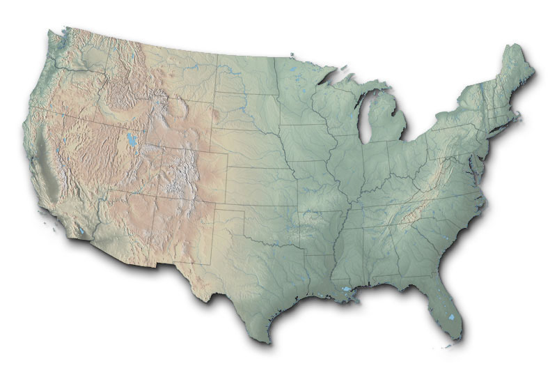
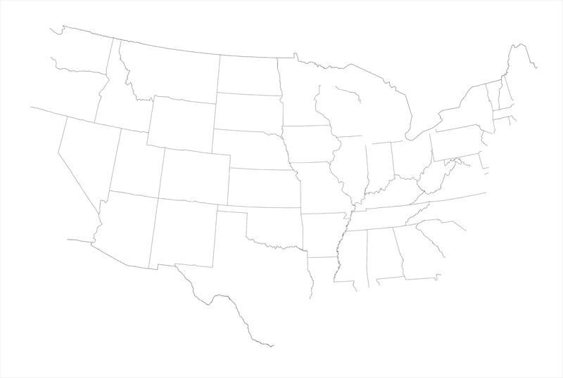
State and international boundaries – RGB JPEG image (quality level 10), Albers Equal-Area Conic Projection, 12,500 x 8750-pixels. Download (3.7MB)
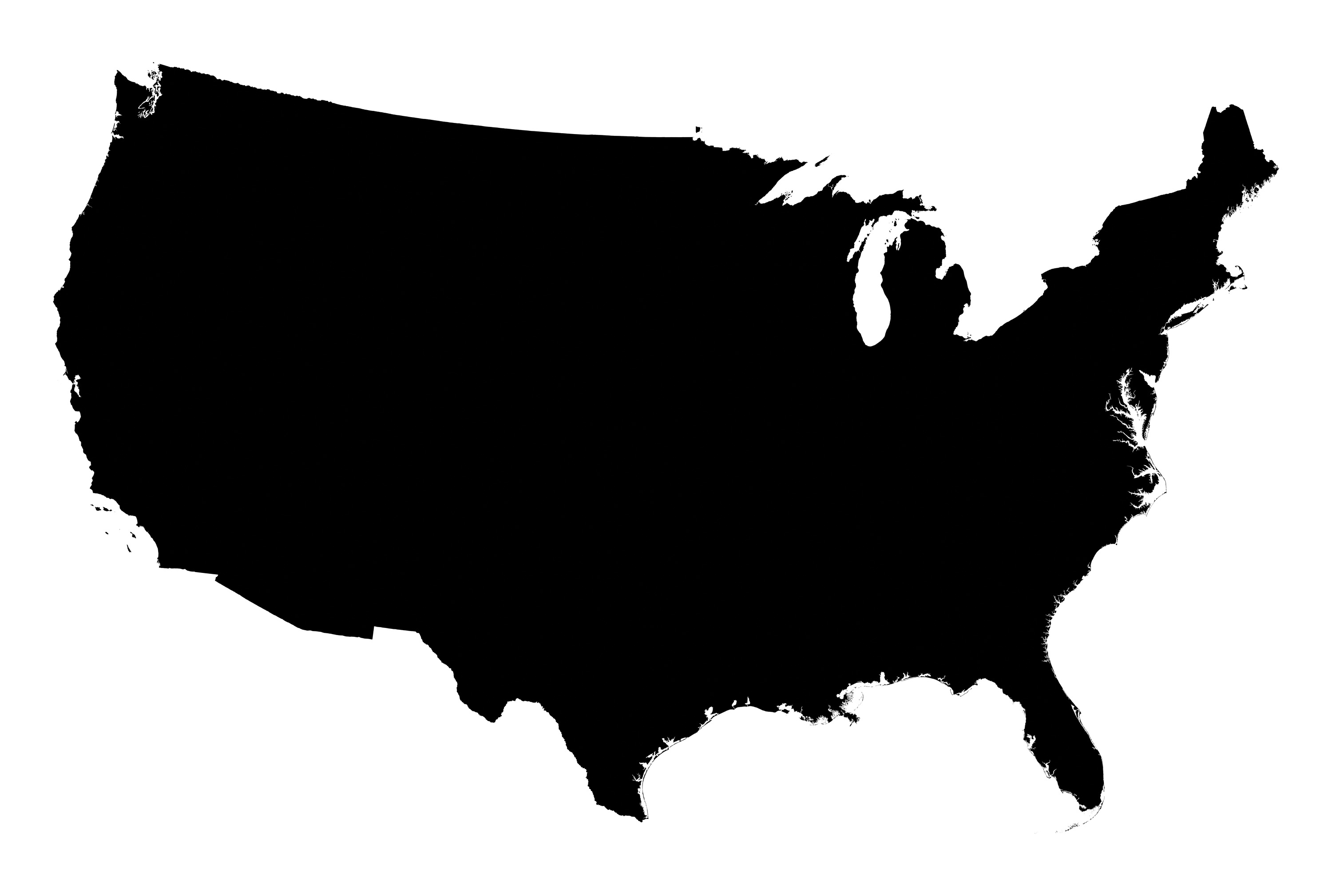
USA mask (use to show the coterminous U.S. as a floating shape) – RGB JPEG image (quality level 10), Albers Equal-Area Conic Projection, 12,500 x 8750-pixels. Download (3.6MB)
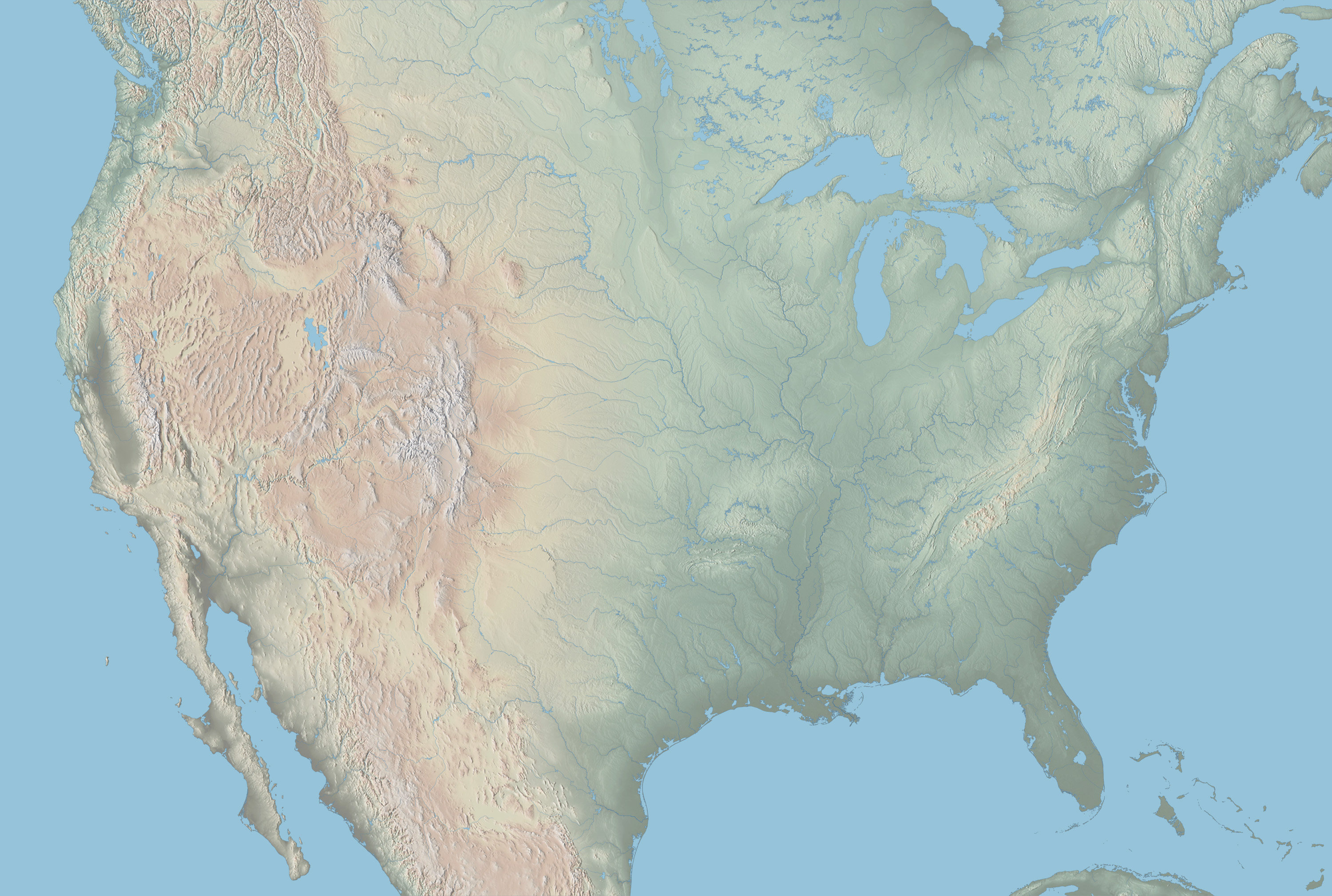
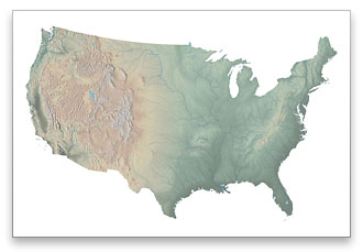
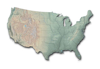
Page-size maps
RGB JPEG images (quality level 10), Albers Equal-Area Conic Projection, 3,000 x 2,019-pixels
Prints 10 inches wide x 7.1 inches high at 300 DPI
Page-size map extras:
State and international boundaries – RGB JPEG image (quality level 10), Albers Equal-Area Conic Projection, 3,000 x 2,019-pixels. Download (388KB)
USA mask (use to show the coterminous United States as a floating shape) – RGB JPEG image (quality level 10), Albers Equal-Area Conic Projection, 3,000 x 2,019-pixels. Download (260KB)
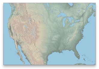
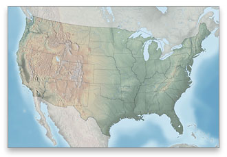
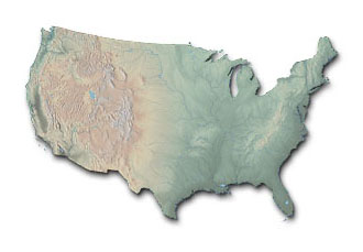
Web maps
RGB JPEG (quality level 10), Albers Equal-Area Conic Projection, 800 x 538-pixels
Displays 11.1 inches wide x 7.5 inches high at 72 DPI

State and international boundaries – RGB JPEG image (quality level 10), Albers Equal-Area Conic Projection, 800 x 538-pixels. Download (108KB)
USA mask (use to show the coterminous United States as a floating shape) – RGB JPEG image (quality level 10), Albers Equal-Area Conic Projection, 800 x 538-pixels. Download (104KB)
Return to Shadedrelief.com