Contact me
Please let me know about any problems you find on the site—thanks!
I am now retired and no longer take on freelance work.
Terrain, maps, and more
This site started out as a resource for cartographers creating shaded relief, panoramas, land cover, and related raster art on maps. It has since grown to include my other cartographic interests and has become a repository for my maps, all of which are in the public domain.
I hope that you enjoy the site.
New stuff
Last update: September 8, 2024
Lake District of Northern Patagonia
A 3D perspective view centered on the popular tourist town of Bariloche and looking beyond into the Andes. Discover the snow-capped volcanoes, sparkling lakes, and primeval forests of this beautiful region on the Argentina/Chile border.
Fin del Mundo: Southern Patagonia and Tierra del Fuego
Explore the the labyrinthine islands and fjords of this remote region at the southern tip of South America. The map features a 3D perspective view complete with a curved horizon and a sky sprinkled with stars.
Svalbard: Norway's High-Arctic Archipelago
A wall map of this remote land of northern lights, polar bears, and walruses. It is available for free. You may also use it for online viewing or to track your location on a mobile device while exploring the islands.
A hiking map of Maine's highest peak. It is the final destination of northbound hikers on the Appalachian National Scenic Trail.
A photo-realistic map of the second highest peak in Utah's Wasatch Range. The summit is a study in glacial geomorphology featuring arêtes, cirques, and horns. A small rock glacier is also visible.
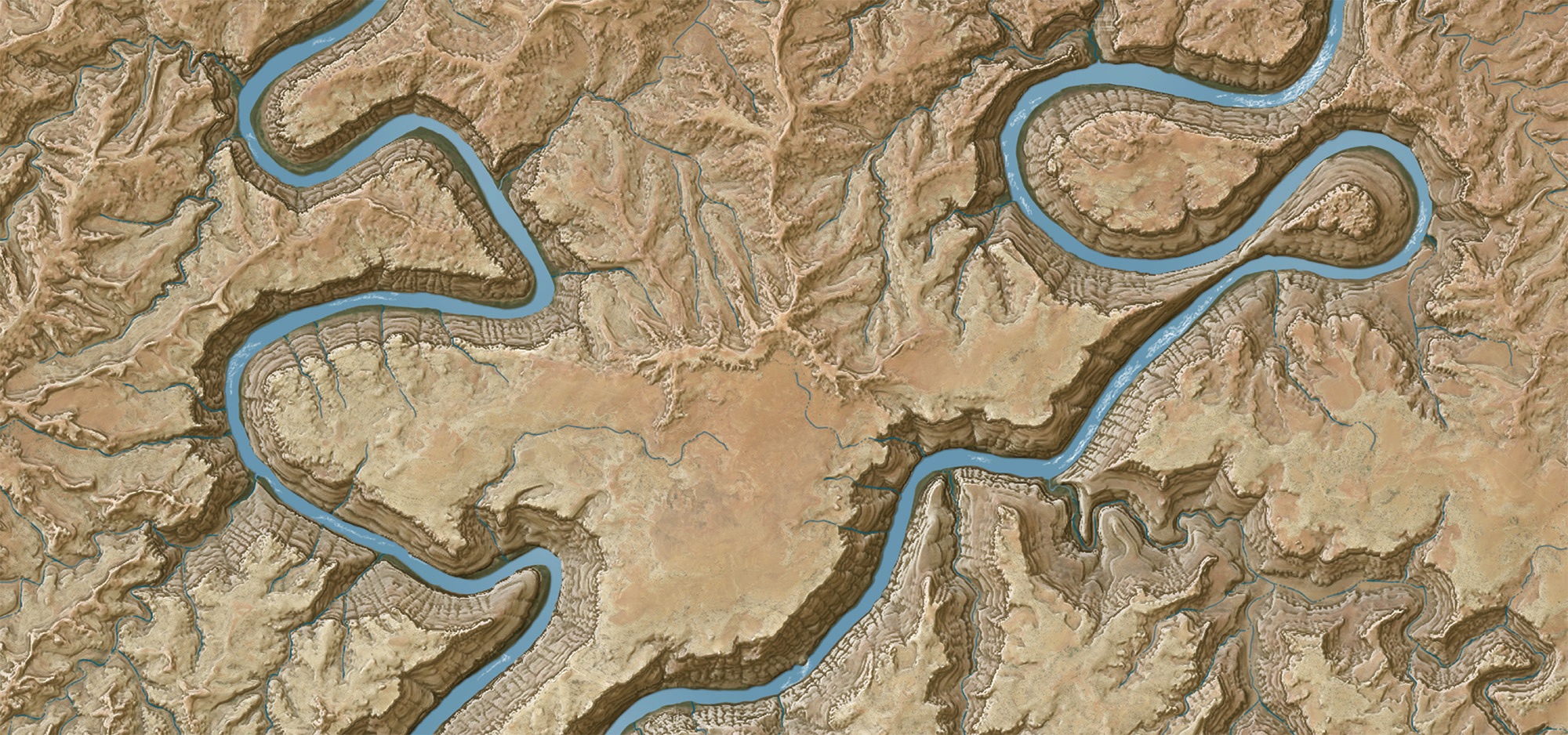
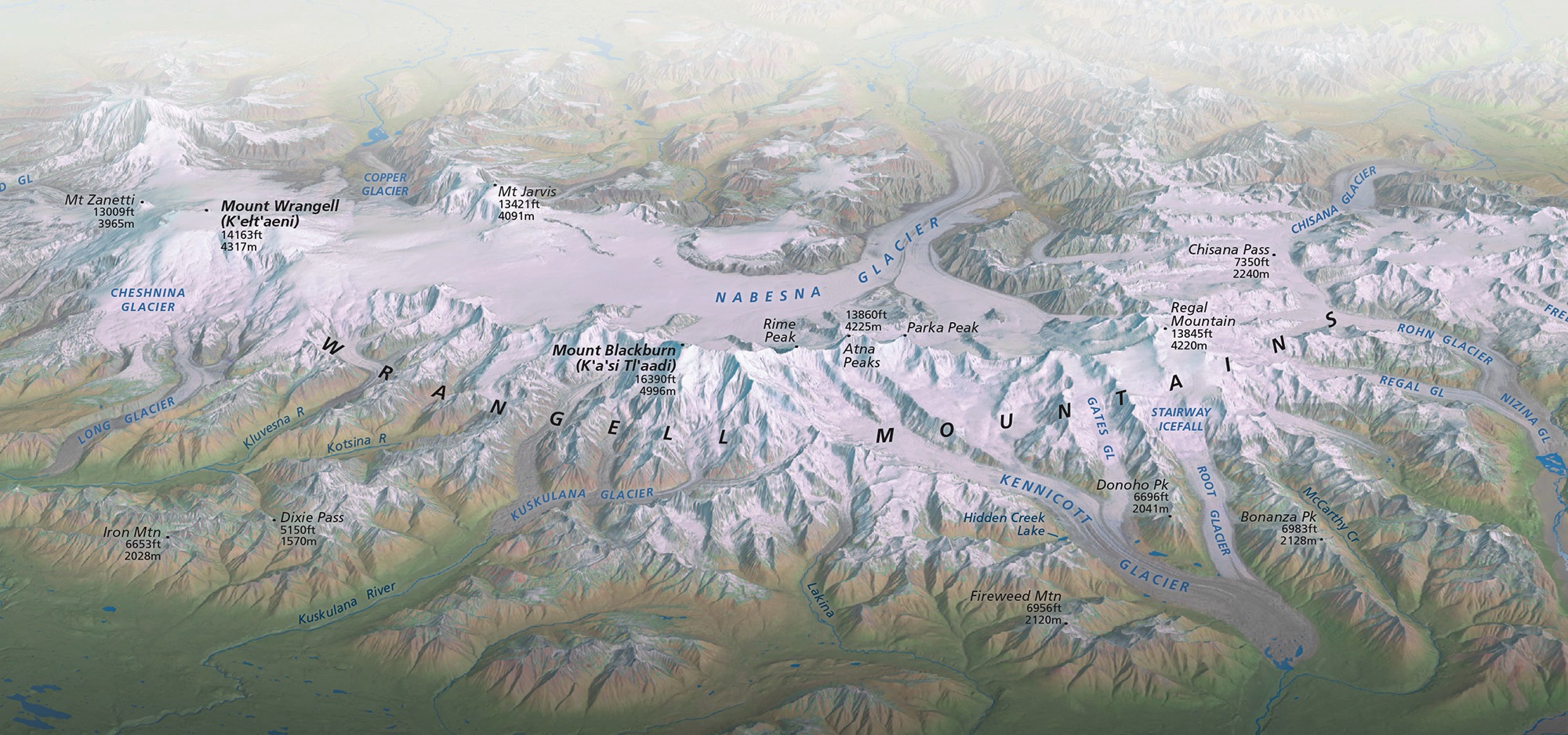
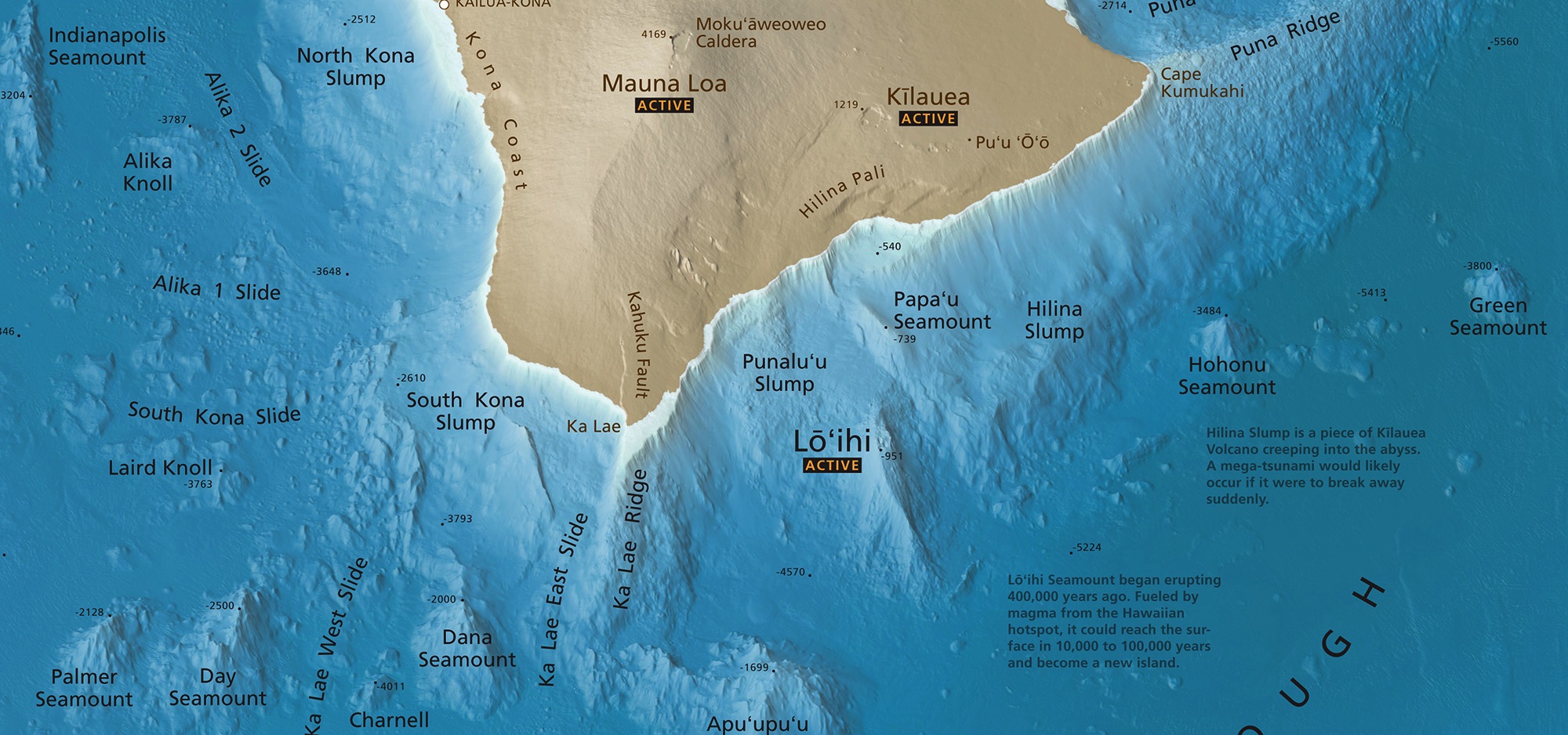
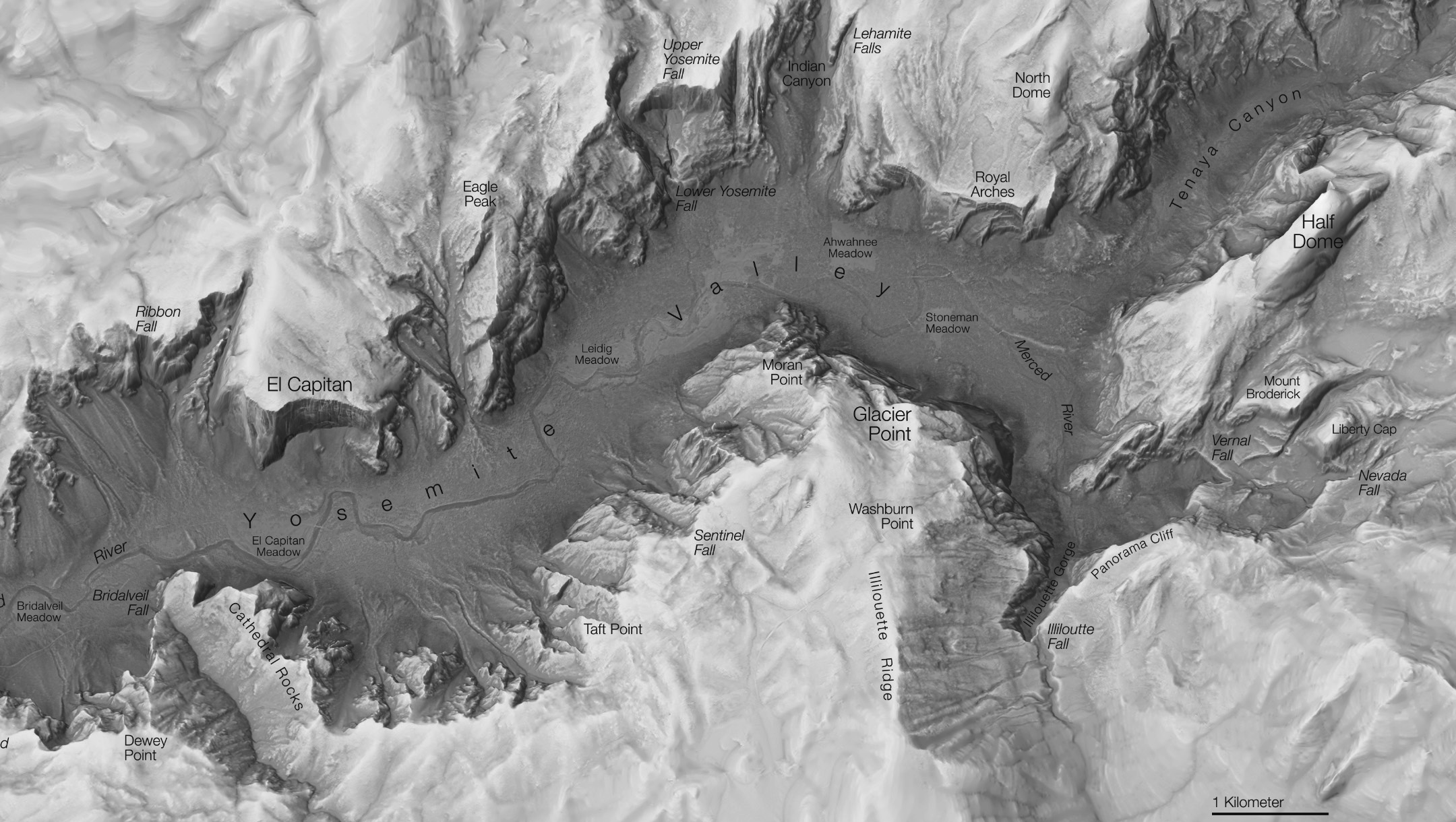
Shaded Relief