 |
 |
 |
 |
 |
 |
||||||||
|
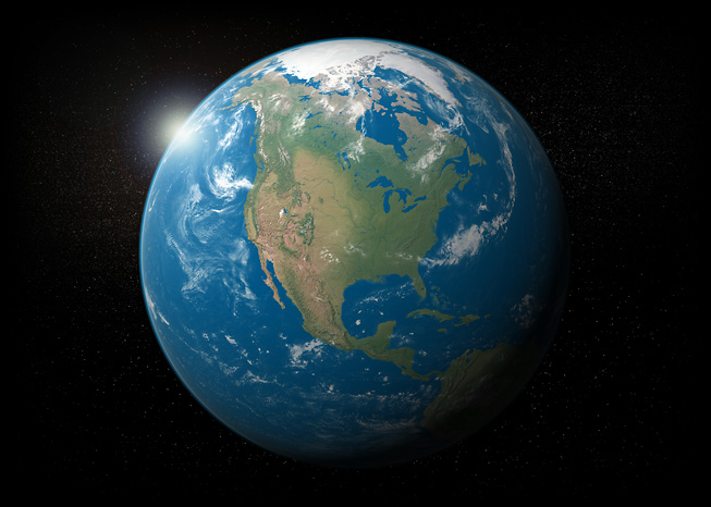
Natural Earth III
|
|||||||||||||
|
Data for Visualizing Earth from Space
|
|||||||||||||
 |
|||||||||||||
|
Natural Earth III is raster map data for creating illustrations and animations of our planet with a plausibly realistic appearance. Using the data requires 3D or mapping software. Legibility is a key feature. Compared to photographs of Earth taken from space, Natural Earth III offers brighter colors, fewer clouds over land areas, distinct environmental zones, 3D mountains, and continuous rivers. Other features include: |
|||||||||||||
|
|
|
|
|
|
||||||||